In this article: Climbing Ben Nevis
It is found around 7 km east of the town of Fort William in Scotland and is the highest mountain in Great Britain at 1345 m. It is called Ben Nevis or Beinn Nibheis in Gaelic, where Ben can be translated as summit and Nibheis as "head in the clouds".
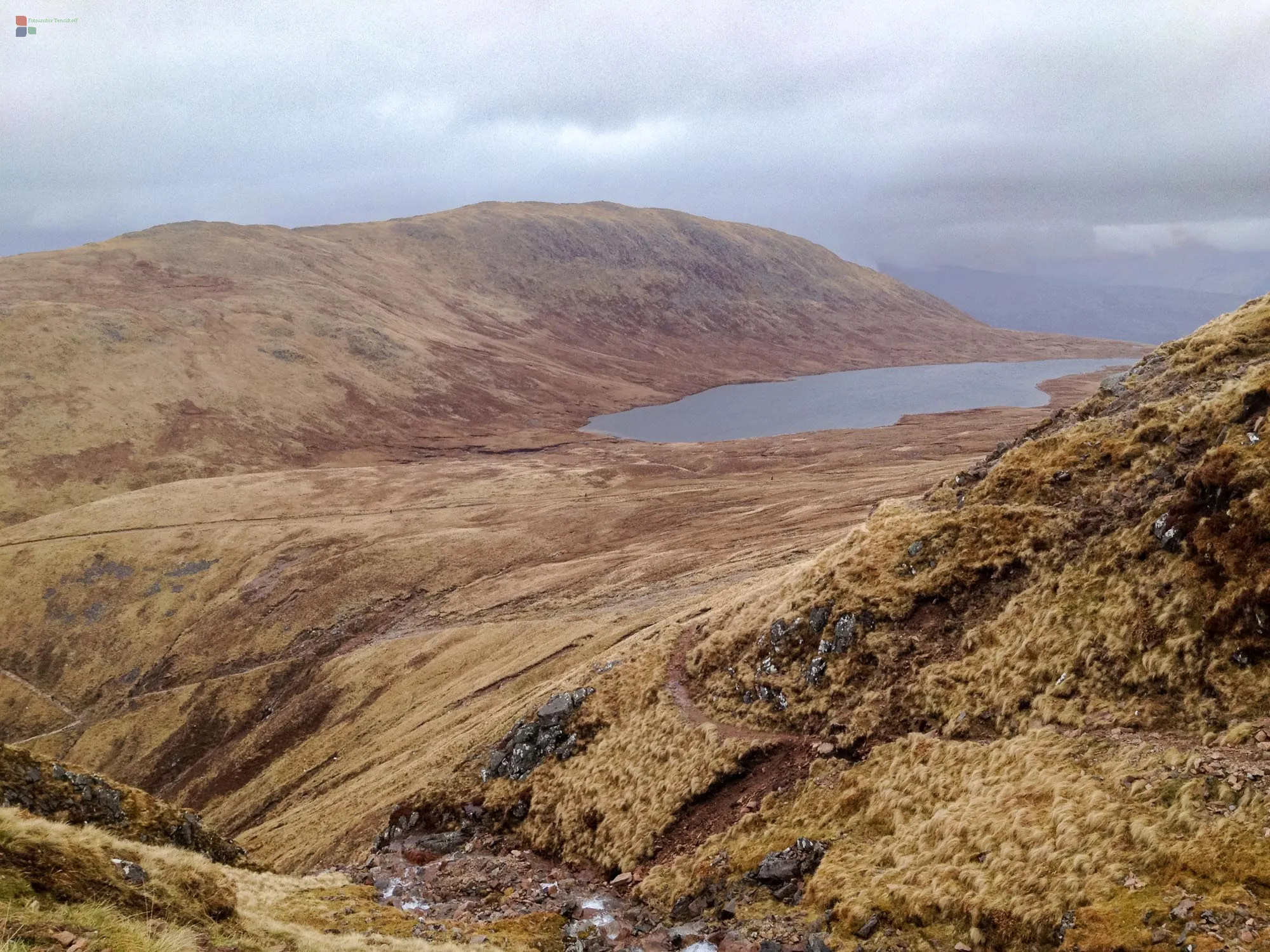
When you start the hike to the summit, you soon understand the meaning of the name; the air masses from the Atlantic bring rain, fog and snow to the mountain around 300 days a year. In addition, a strong, gusty wind often blows over the summit, so not good conditions for tourists with low boots. And yet they exist, because the ascent is considered to be easily manageable, especially via the tourist route, if you are in the right condition. A large number of accidents, including fatal ones, occur, especially on the often icy rock faces, for example when inexperienced hikers climb the mountain with unsuitable equipment.
Therefore, before the ascent, rangers check the equipment. We had a GPS with us, but the rangers complained that we didn't have a mechanical compass with us. Too often they had already experienced that the batteries failed in the icy winds in the dense fog... Since we had enough spare batteries to show, we were allowed to climb up and the first kilometers of the quite wide footpath seemed to us that the warnings of the rangers also seemed a little bit to be overprotective.
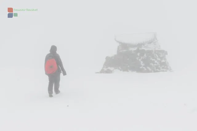
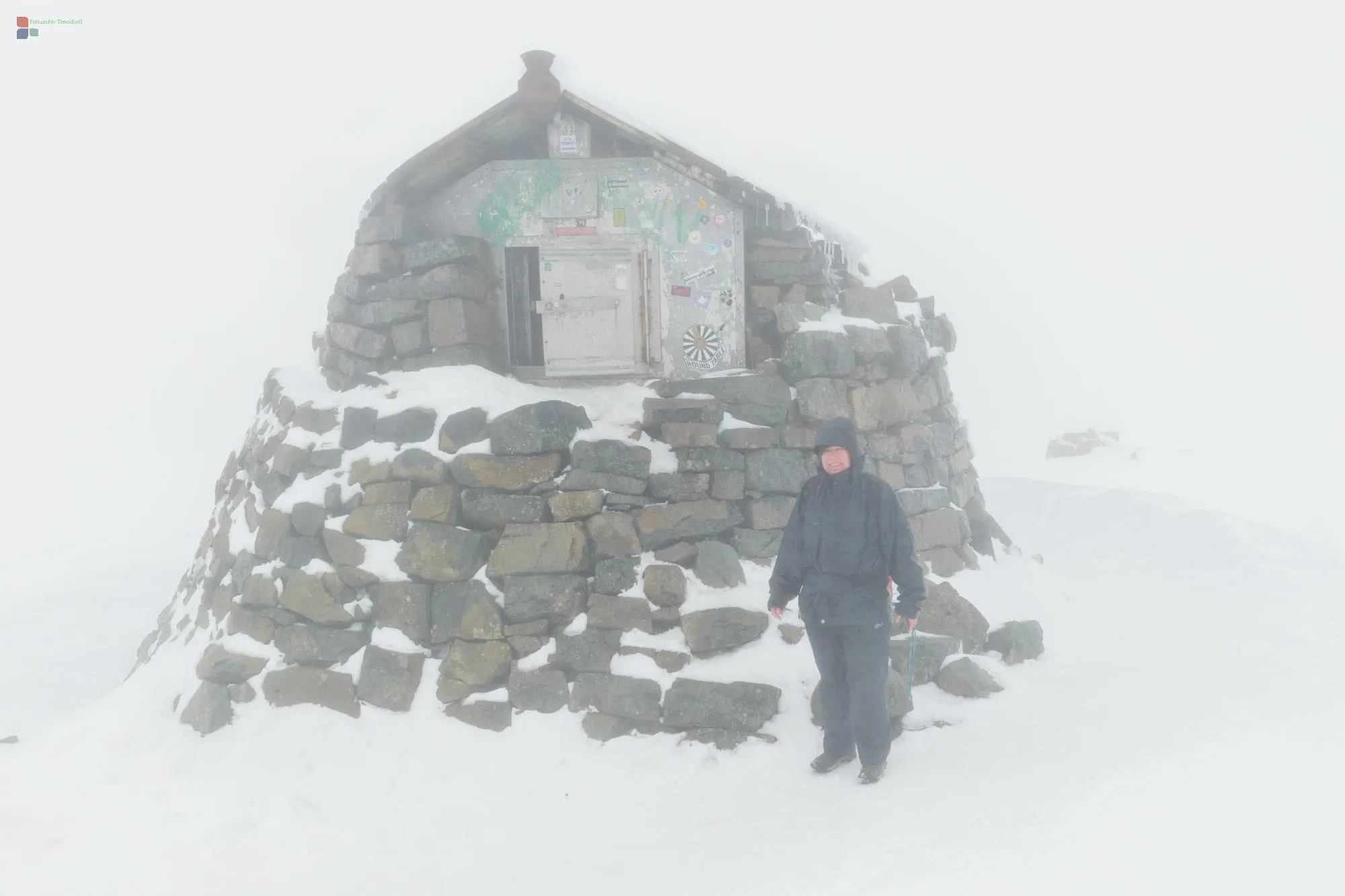
But that quickly changed as the altitude increased. The wide paths turned into narrow rocky sections and finally we walked in the fog over snow and ice. Sometimes boulders appeared as shadows in the fog and disappeared again just as quickly, so that they could not be used as waypoints. We remained adamant on the track that our GPs showed and about 100 meters in altitude before the summit, a larger rock formation appeared in the fog, which turned out to be a stone summit hut, and motivated Karin to exclaim: "And if I have to crawl on all fours, until then I can do it!"
And so we reached the summit of Ben Nevis at wind speeds of 130 kilometers per hour, over snow and ice in dense fog - where we were also successful at geocaching :-)
The descent wasn't easy either, as the rangers warned us not to follow the footprints of others, as these could also lead directly into the abyss. We took that to heart and kept to the GPS again. In the accommodation we then looked at our track - we had always descended only a few meters away at the edge over the abyss - we hadn't seen it at all in the fog.
In total, it took us around five hours to go up and three hours to go down - that was a highlight that no trip to Scotland should be without.


