In this article: Two lighthouses mark the ends of the island of Öland
Öland is the second largest Swedish island and is located in the Baltic Sea. With a length of 137 km and a maximum width of 16 km, it has an area of about 1347 km². The island has been six kilometers long since 1972 with the mainland town of Kalmar connected to Öland Bridge, which is also the longest bridge in Sweden.
Two lighthouses mark the ends of Öland - Långe Erik on the north and Långe Jan on the southern tip of the island. While in the north the Klapperstein Coast impresses as a special coastal formation, in the south it is the many different birds and mammal species that you can see. For example, if you climb Långe Jan, you have a wonderful view of the coast and a colony with different species of seals.
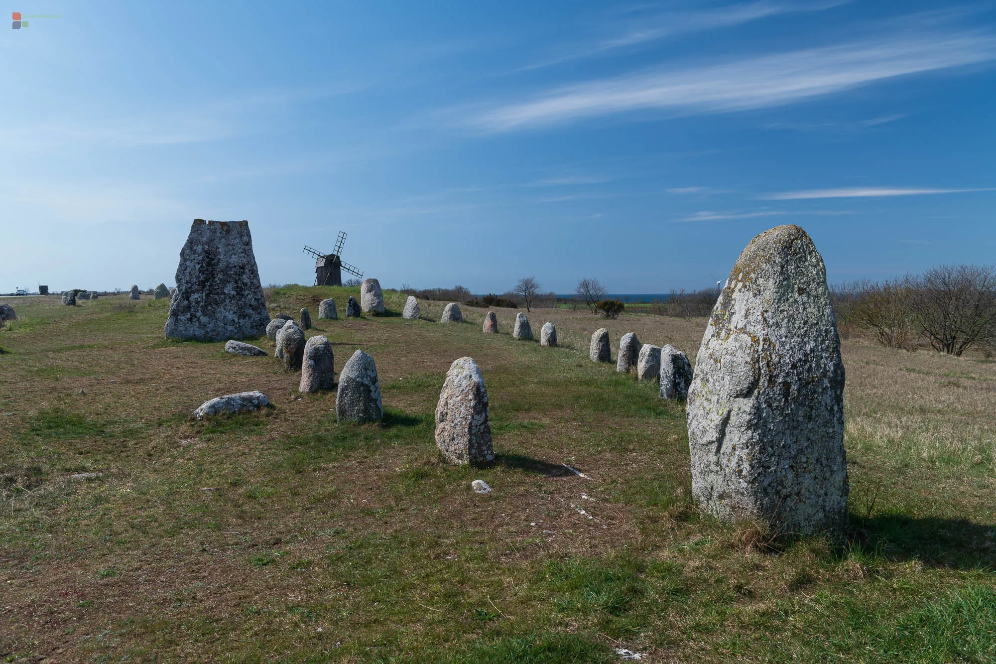
In earlier times there were around 2000 windmills between the two lighthouses. Today around 400 are still in good condition and characterize the architectural face of the island.
A sightseeing highlight is certainly the ruins of Bergholm Castle, with beautiful views and informative exhibitions - there is a free app for Android/Apple that has interesting stories to tell at several stations in the ruins (don't forget your headphones).


